
Great Smoky Mountain National Park Overview
Below you will find the 11 best hikes in Great Smoky Mountains National Park! Located on the border of Tennessee and North Carolina, this is the most visited national park in America. Weekend visitors to Pigeon Forge and Gatlinburg make getting into the park time consuming. However, there are some great trails here that are a must-see.
| State | Tennessee; North Carolina |
| Nearest Metro Area | Asheville, NC |
| Area Size | 522,427 acres |
| Established | June 15, 1934 |
| Hiking Trails | 850 miles |

Thoughtful designs inspired by America’s National Parks.
The National Park Series — custom designs drawn from the landscape.
Trailhead Traveler’s Recommended Best Hikes in Great Smoky Mountains National Park
Alum Cave Trail

This is a great hike that has several highlights along the way…you’ll pass Arch Rock, Alum Cave, small waterfalls, and reach Mount Le Conte at the end. The end of the 5+ mile trail meets Rainbow Falls Trail (see below) and can be extended into a full day hike if you wish. You could also stay the night at the hike-in only Le Conte Lodge. The trailhead is located off of US-441 S about 9 miles from the Sugarlands Visitor Center.
- 10.5 miles out and back
- 2700′ elevation gain
- Strenuous
Chimney Tops Trail

This is one of the most popular hikes in Great Smoky Mountains National Park and with good reason as it gives hikers some of the best views. There is a very steep climb for the last half of the trail but the results are worth it. The views are much different after wildfires engulfed the area in 2016 but the trail is once again open with a newly constructed observation point at the summit. The trailhead is located off of US-441 S about 7 miles from the Sugarlands Visitor Center.
- 3.8 miles out and back
- 1450′ elevation gain
- Strenuous
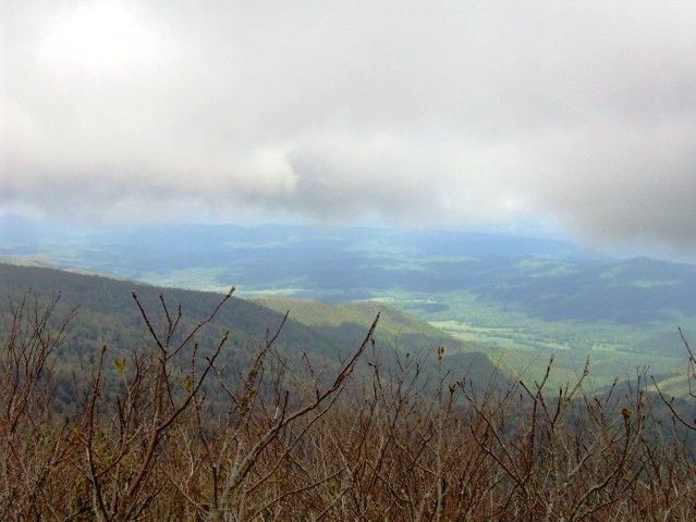
Mt. Cammerer

The trailhead is located at the Cosby Campground. From here, you’ll hike 3 difficult miles until you reach the Appalachian Trail which you’ll take the rest of the way to the summit of Mount Cammerer which sits on the TN and NC border. There is a fire tower built in the 1930s that sits on top of the summit and gives hikers a panoramic view of the area.
- 10.8 miles out and back
- 3000′ elevation gain
- Strenuous
Andrews Bald Trail

Hikers will take the Forney Ridge Trail south to the tallest bald in the park. The large, open meadow provides great views of the surrounding mountains. The trailhead is located at the end of Clingman’s Dome Road. The nearby Clingman’s Dome observation tower is a must while in the area.
- 3.5 miles out and back
- 900′ elevation gain
- Moderate
Charlie’s Bunion

This trail follows the Appalachian Trail to a popular viewpoint named for Charlie Conner’s bunion! The trailhead will be crowded as Newfound Gap Overlook is a popular spot to stop and take a picture but once you start the hike you will soon leave the crowd behind. The trailhead is located at the Newfound Gap parking area off of US-441 S.
- 8.1 miles out and back
- 1650′ elevation gain
- Strenuous
Rainbow Falls Trail
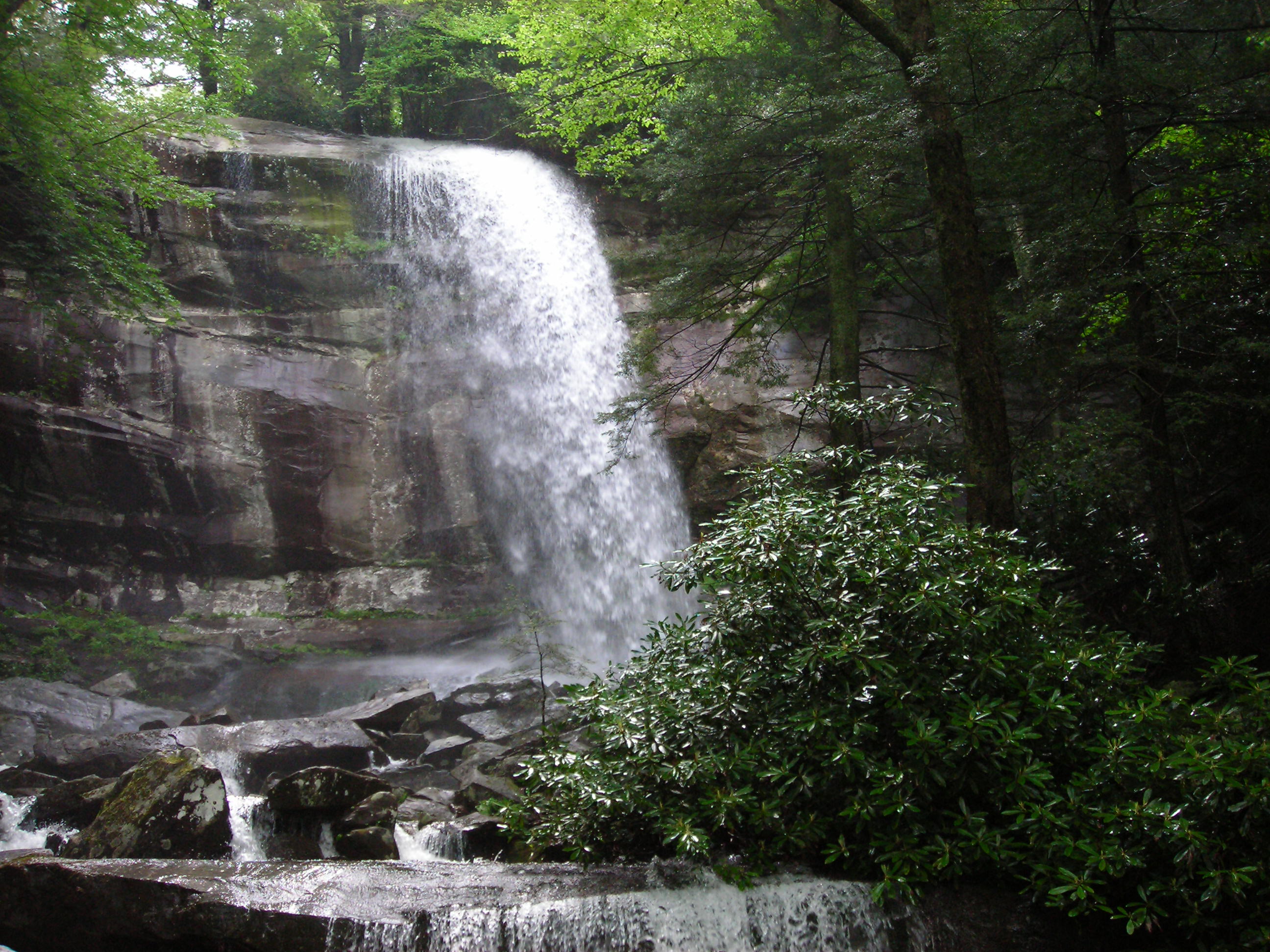
Rainbow Falls is the largest single drop waterfall in the park and best viewed after long periods of rain. It is 2.7 miles to the falls from the trailhead but the hike can be extended even further if you continue up Mount Le Conte. The trailhead is located off of the one-way Cherokee Orchard Loop Road.
- 5.4 miles out and back
- 1650′ elevation gain
- Moderate
Rocky Top
This is a combination of several steep trails in order to reach Rocky Top which offers some of the best views in the park. Hikers will start off on Anthony Creek Trail for 3.5 miles then take Bote Mountain Trail just over 1.5 miles. Once you reach Spence Field, you’ll take the Appalachian Trail eastbound for 1.2 miles to reach Rocky Top. The trailhead is located at the end of the Cades Cove Picnic Area.
- 11.6 miles out and back
- 4200′ elevation gain
- Strenuous
Grotto Falls Trail

This is a great family hike to a waterfall that you can walk behind. To access the falls, hikers will take the Trillium Gap Trail – the trailhead is located off of the Roaring Fork Motor Trail.
- 2.6 miles out and back
- 500′ elevation gain
- Easy
Abram’s Falls

A relatively short hike to one of the many waterfalls in the Smokies. Abram’s Falls is only 20′ tall but it is the most voluminous waterfall in the entire park. The up and down trail does not have much to look at but the falls at the end make the hike worth it. The trailhead is located off of Cades Cove Loop Road.
- 5.2 miles out and back
- 600′ elevation gain
- Moderate
Laurel Falls Trail

The 80′ falls is one of the most popular destinations in the park making this a heavily trafficked trail. Being a paved trail and so close to the Sugarlands Visitor Center, you’ll have to share the trail with quite a few others. The trailhead is located off of Fighting Creek Gap Road.
- 2.3 miles out and back
- 300′ elevation gain
- Easy
Porter’s Creek Trail

Starting off on a gravel road, this trail leads hikers past a series of stone walls, old settlements and a couple footbridges along Porter’s Creek. The trailhead is located at the end of Greenbrier Road.
- 4.0 miles out and back
- 700′ elevation gain
- Moderate
Featured Image: Mount LeConte from the Chimney Tops, Photo by Tim Lumley

Don’t forget to stock up on the essentials before you plan your next hiking or camping trip! We have recommendations on:
TENTS
HIKING BOOTS
AND MORE!